
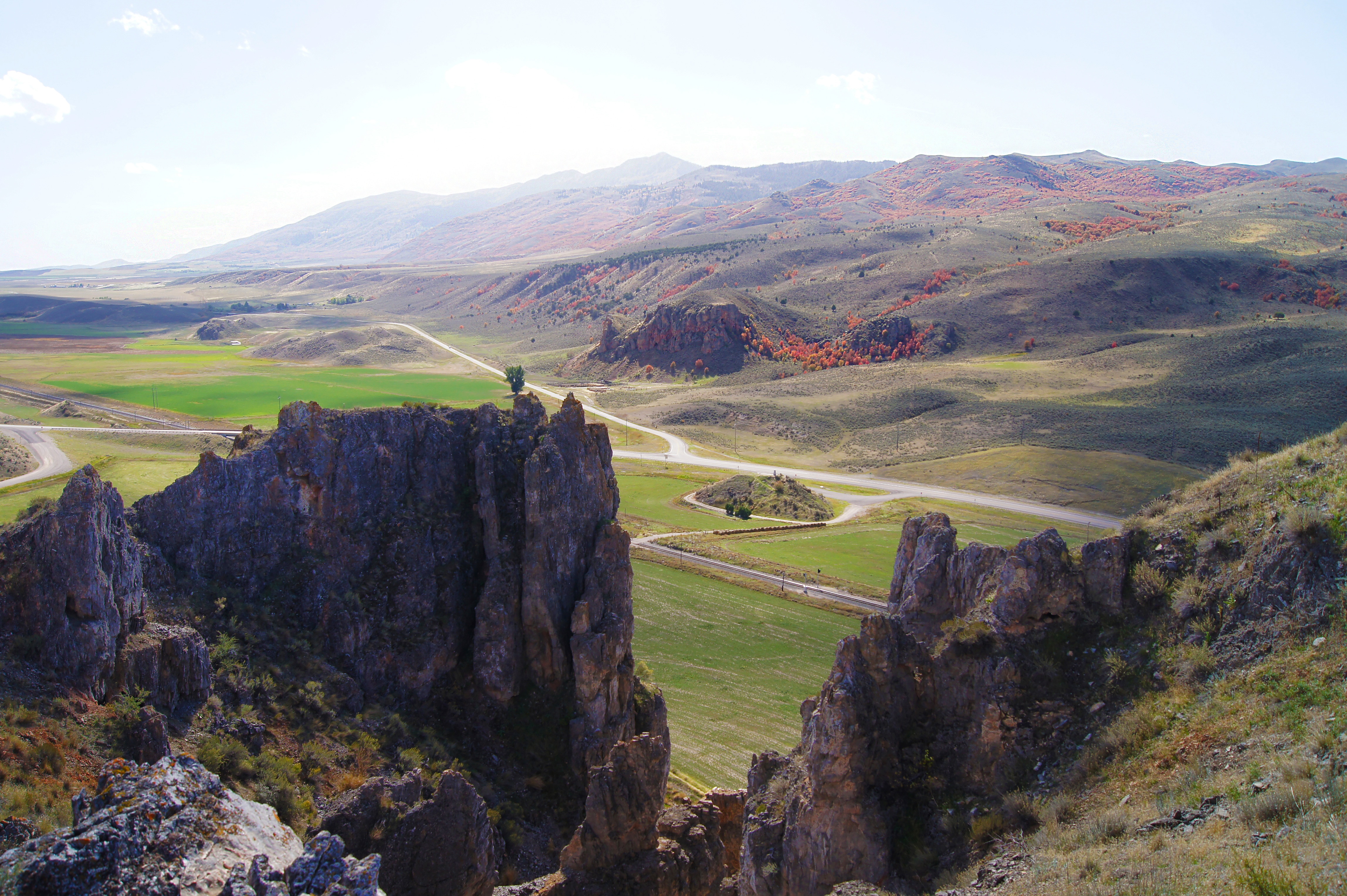
Red Rock Pass was the site of the ancient dam at the north end of former Lake Bonneville. It was cut through a sill of resistant Paleozoic shale, limestone, and dolomite, and forms a narrow gap two miles long. At one time the pass was at the shoreline of Pleistocene Lake Bonneville, 300 feet higher. Lava flows in the vicinity of Pocatello diverted the Bear River through Lake Thatcher into Lake Bonneville. The sudden influx caused Bonneville to overflow at Red Rock. Marsh Creek Valley, immediately downstream, was flooded from wall to wall, and the rapid discharge eroded the pass to its present level. The Bonneville Flood, as it isLake Bonneville flood known, was catastrophic. Maximum discharge as about 15 million cfs, or about three times the average flow of the Amazon, the world’s largest river. The rate of flow was approximately sixteen-mph, and though peak flow lasted only a few days, voluminous discharges may have continued for at least a year. Red Rock pass attracts geological groups from miles around, to study the remains of the great forces on nature.
Address
28103 US-91, Downey, ID 83234
GPS
42.354500411674, -112.04989778866
Telephone
