
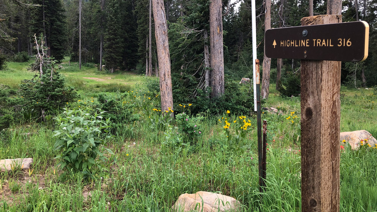
Highline is a 55-mile trail mostly at 9000 feet elevation between Preston and Soda Springs. It is suitable for both hikers and bikers as well as Cross Country skiing or snowshoeing in the winter. Contact the Montpelier Ranger District for maps and information.
ATV & Recreation Trails: View our ArcGIS interactive map.
Snowmobile Map: Idaho State Parks Snowmobile Trail Map with Grooming Info
Address
Forest Road 416, Montpelier, ID 83254
GPS
42.372848491771, -111.55284178123
Telephone
Web
