Category: Oregon Trail Bear Lake Scenic Byway
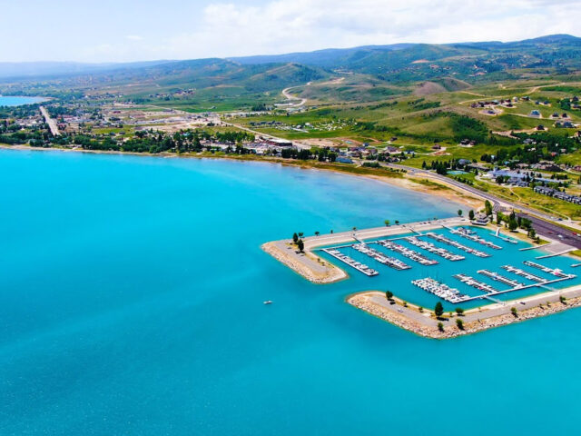
Southeast Idaho, from the Utah border, through Soda Springs and west to McCammon, has been traversed by travelers since before recorded history. First by various tribes of natives on their way to “Po-Ha-Ba,” the healing waters of the hot springs at Lava Hot Springs, later by fur trappers, then emigrants on the Oregon Trail. This scenic drive passes by beautiful Bear Lake, which straddles the Idaho-Utah border and continues through Oregon Trail country. The lake is known for its turquoise-blue water, especially when viewed from Hwy. 89 summit (7,800 feet) high above Garden City. View the National Oregon Trail/Bear Lake Scenic Byway Brochure. Download a printable Map and Itinerary.
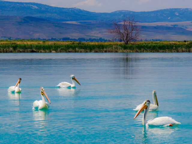
This waterfowl refuge, along the north shore of beautiful Bear Lake, is great for observing white-faced ibis, Canada geese, ducks, sandhill cranes, and a variety of songbirds.
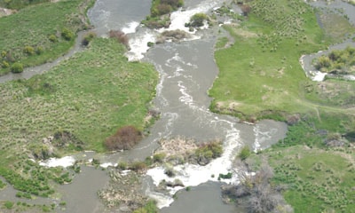
View moreThis site offers wildlife viewing, fishing, and (further up the river) kayaking and canoeing.
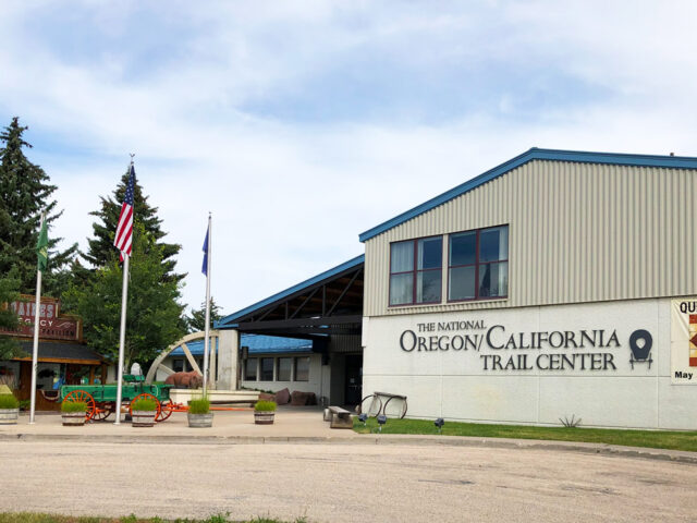
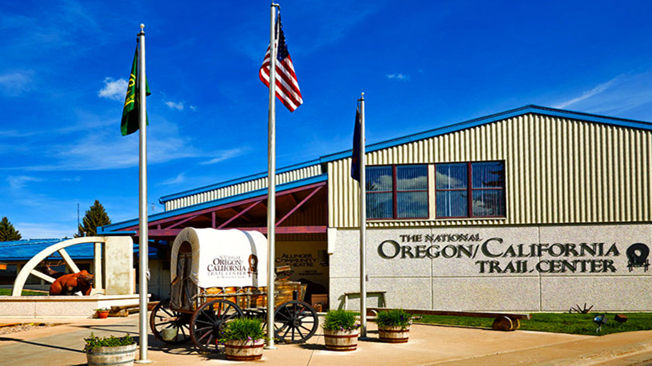
View moreClosed in the Winter. The National Oregon/California Trail Center is located near the Clover Creek Encampment of the Oregon Trail in Montpelier at 320 North 4th Street. The trail center depicts the 2000-mile, 5-month journey along the Oregon Trail in daily Living History tours during the summer. Allinger Community Theatre…
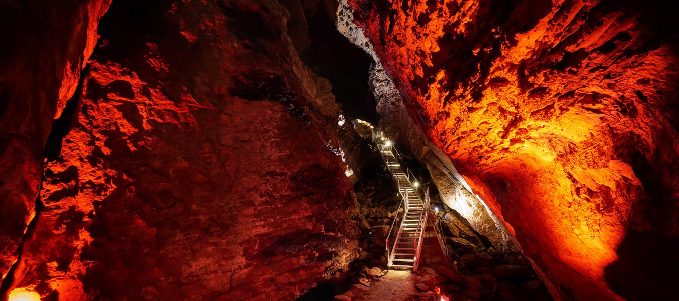
View moreTour through a wondrous half-mile of stalactites and stalagmites in the largest limestone cave in Idaho.
View moreOpen in the summer only. CHESTERFIELD is an early Mormon settlement 11 miles north of Bancroft, Idaho. Founded in 1881, it is now unoccupied, but history buffs won’t let it go away. They formed a foundation to refurbish and maintain 27 original structures now on the National Historic Register. Many…
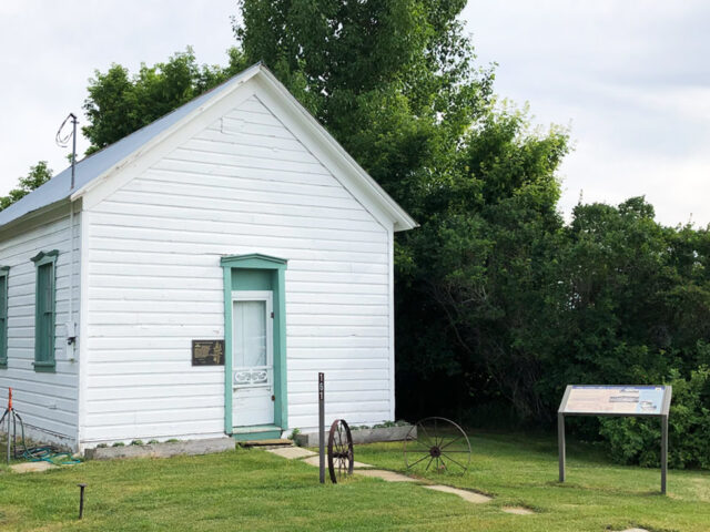
View moreSummer only. This small log and wood frame building over 125 years old, is listed on the National Register of Historic Places. In Georgetown’s early settlement, it functioned as a local chapel, schoolhouse and general meeting hall. For many years it was a focal point for the female society of…
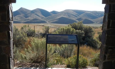
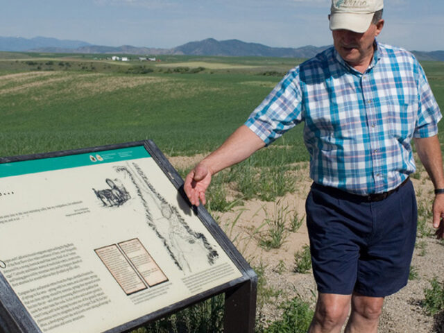
View moreEmigrants by the thousands entered present day eastern Idaho at this location traveling along the Oregon-California Trail. Emigrants on the trail encountered Big Hill, thought to be the steepest and longest descent found on the trip west.
View moreSulphur Springs was noted in numerous early explorer and emigrant diaries. It was the first of several notable springs encountered in the Soda Springs area. When the wind is right, the distinct rotten egg odor can still be easily detected along Highway 30 east of town. The cold water and…
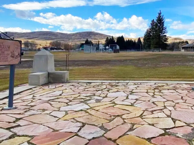
View moreGutzon Borglum was a prolific American sculptor best know for his presidents' sculptures on Mount Rushmore, South Dakota. Borglum was born in St. Charles, Idaho in 1867. His marble head sculpture of Abraham Lincoln is on display in the Capitol Rotunda.
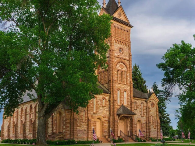
View moreThis place of worship is recognized as one of the true pioneer landmarks of the West and is listed on the National Register of Historic Places. In 1889, this Romanesque Mormon tabernacle was constructed of red sandstone that had to be transported by wagon or sled from a quarry 18…
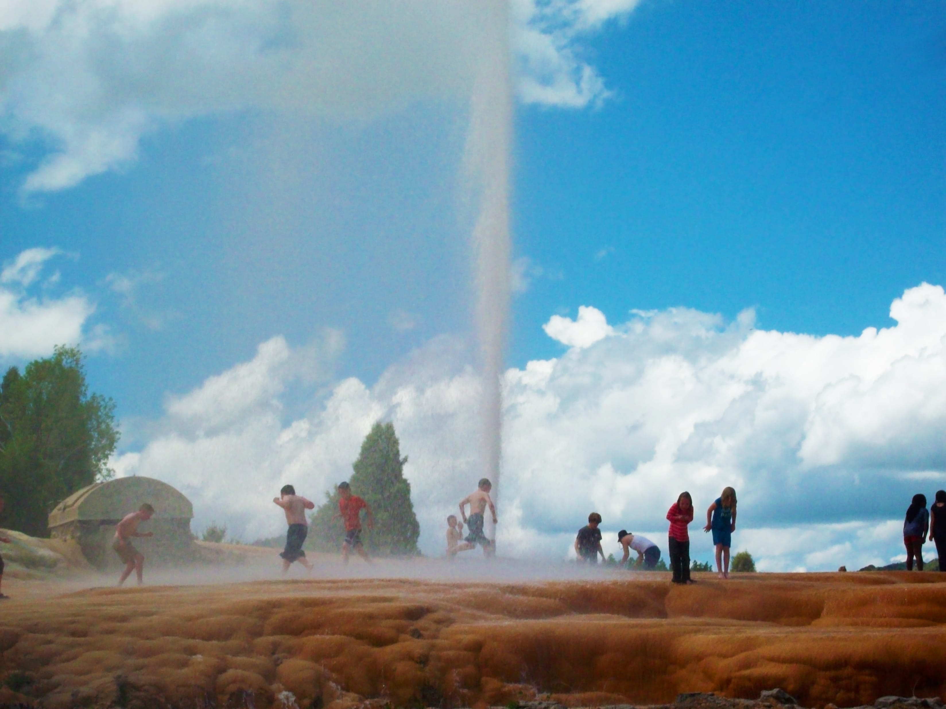
View moreSoda Springs boasts having the world's only captive geyser. On November 30, 1937 in an attempt to find a hot water source for a local swimming pool, a well driller set free the natural geyser at a depth of 317 feet. It is located on Pyramid Spring, a travertine mound described by Fremont in his 1840s expeditions, along with other area springs.
View moreOpen year round. Both permanent and rotating exhibits about the history of the Lava Hot Springs area and development of the surrounding rural communities of Arimo, Inkom, Downey, McCammon, Virginia and Swan Lake.
View moreThis location along US 30 provides a spectacular view of the Bear River. Sherman Peak, at an elevation of 9,682 feet, can be seen in the distance. The 300-mile river is one of the most circuitous in the United States.
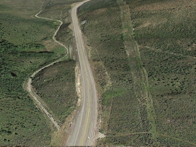
View moreOver 300,000 emigrants used the Oregon-California Trail between 1840 and 1869. Three ruts are visible at the bottom of the hill, indicating that the wagons and oxen spread out to reduce the dust.
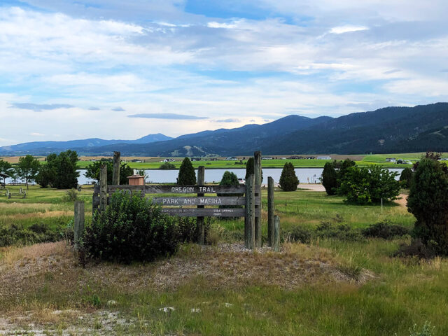
View moreSheep Rock was the location of the first split of the Oregon-California Trail. The Bidwell-Bartleson Party and the Hudspeth Cutoff diverged from the main trail here. Oregon Trail Public Park and Marina – This park, on the shore of Alexander Reservoir, features a marina, picnic area and playground, and a remnant of the Oregon Trail.
View moreFeatures a covered picnic area, other picnic sites, and a boat ramp for fishing and boating. Birdwatchers can view pelicans, sea gulls, hawks, geese, and ducks.
View more