Category: Snowmobile Trails
Explore Southeast Idaho Snowmobile Trails
- one
- two
- three
Filter your results by entering a keyword and choosing a category and a location below
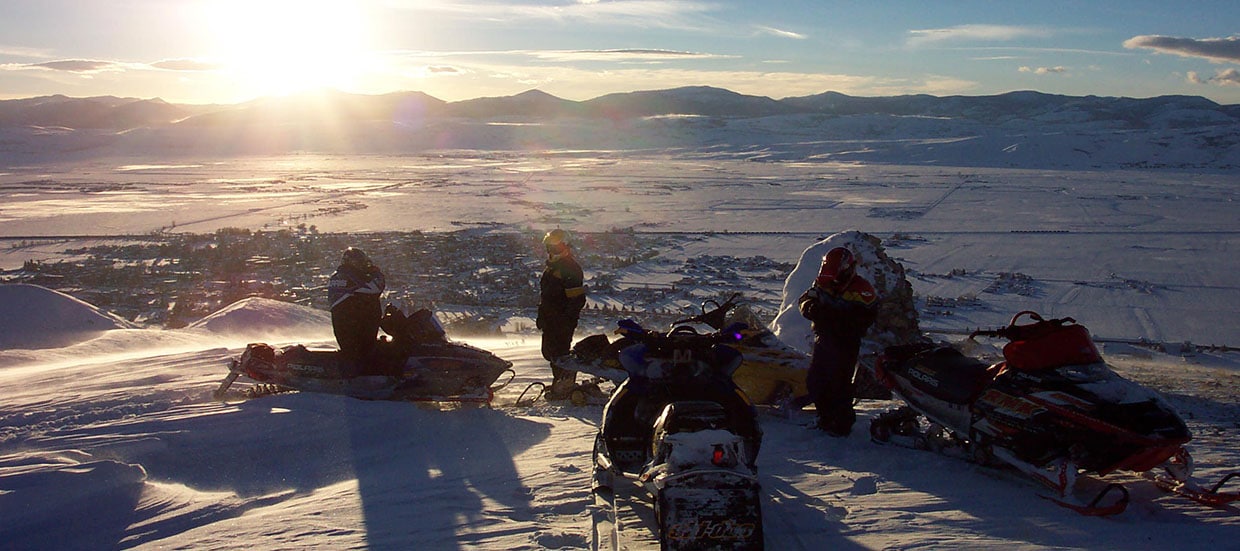
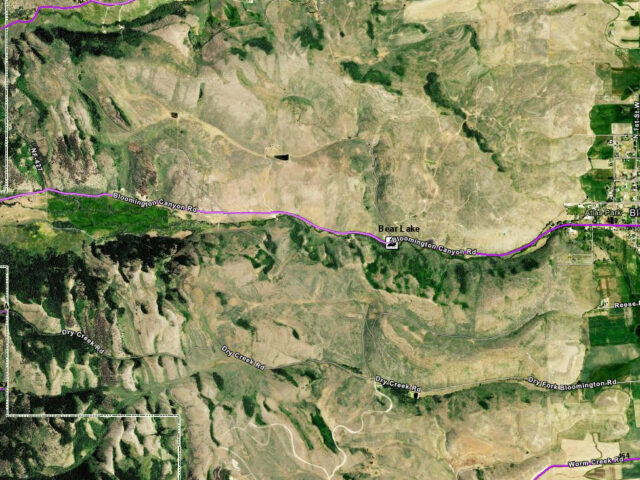
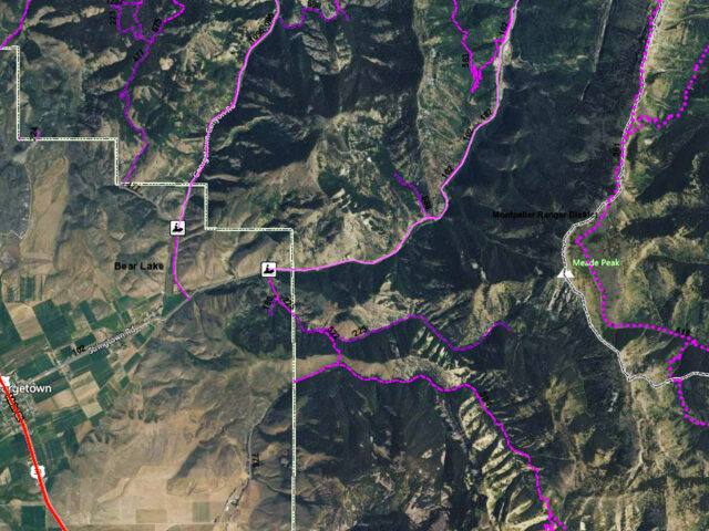
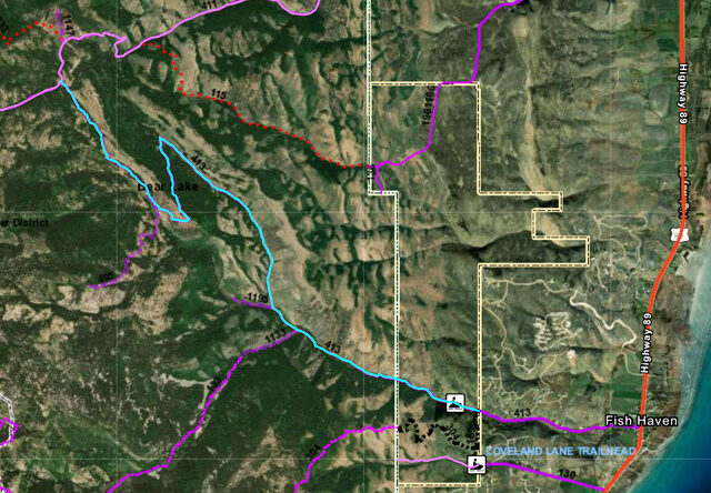
Beautiful Bear Lake has a network of 350 miles of groomed trails and has extensive additional mileage in marked, ungroomed trails. Changes in elevation offer terrains varying from mountainous to open meadow. The St. Charles-Fish Haven Loop is one of the most popular in the area. Other trails include: Paris,…
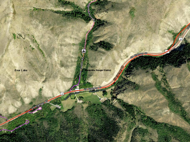
View moreMontpelier Idaho trail head for snowmobiling, ATV riding and mountain biking. See our interactive ArcGis map.
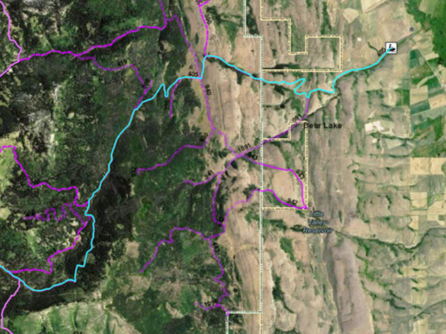
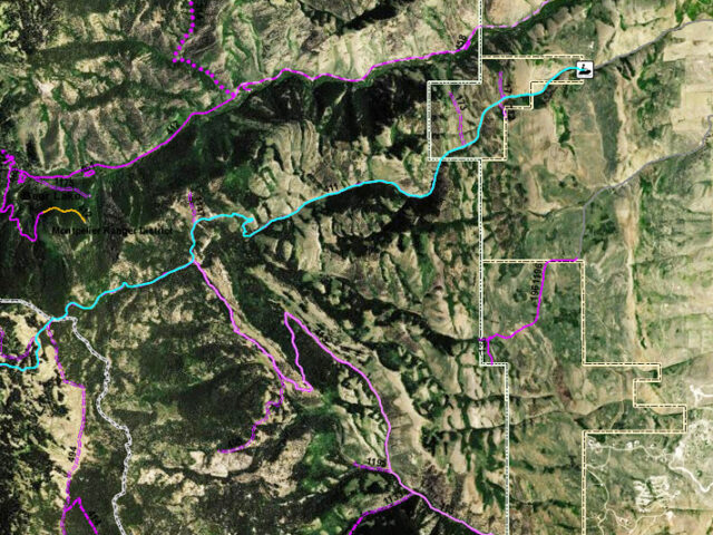
View moreTrail head near Bear Lake for snowmobiling, ATV riding and mountain biking. View our ArcGis interactive map.
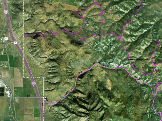
View moreTrailhead for snowmobiling, ATV riding and mountain biking between Grace and Pocatello. View our ArcGis interactive map. Request a printed map. Download and print a map.
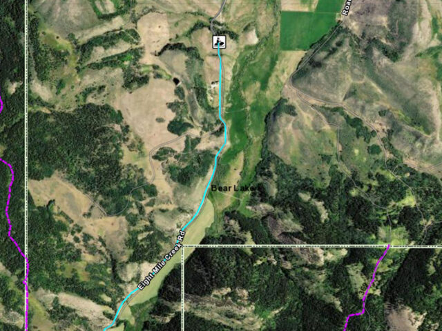
View moreEight Mile Trail Head for snowmobiling, ATV riding and mountain biking. See an interactive printable map.
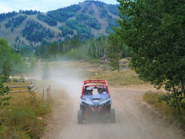
View moreSnowmobile & ATV trails course across hundreds of miles of wide open space as they lead travelers through this snowy valley or onto groomed trails along mountain ridges and rolling hills.
View moreTrailhead for snowmobiling, ATV riding and mountain biking near Bear Lake Idaho. Download our Northern Bear Lake – Preston Snowmobile Map or order our Printed Snowmobile Maps.
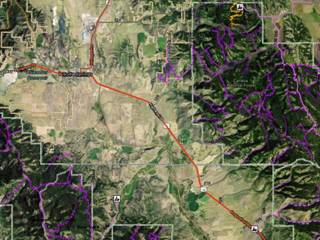
View moreTrailhead for snowmobiling, ATV riding and mountain biking near Soda Springs Idaho. See our interactive ArcGIS map. Request a printed map. Download and print a map.
View moreTrail head for snowmobiling, ATV riding and mountain biking near Malad Idaho.
View moreTrailhead for snowmobiling, ATV riding and mountain biking. See an interactive printable map.
View moreSouth Fork Trail head for snowmobiling, ATV riding and mountain biking near Montpelier Idaho. View Southeast Idaho Trails interactive map. Download or order a snowmobile printed map.
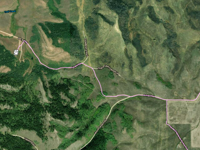
View moreTrail Canyon near Soda Springs has more than 250 square miles of trails on forest service land through scenic forested mountains and onto powdery valley floors.
View moreWeston Canyon Trailhead for snowmobiling, ATV riding and mountain biking. See our ArcGIS interactive printable map.
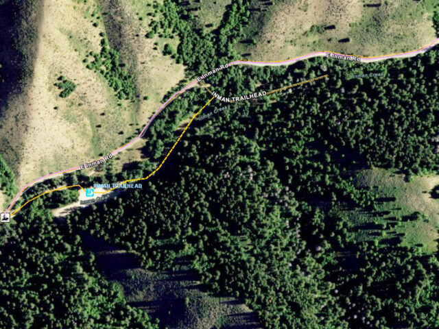
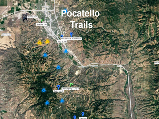
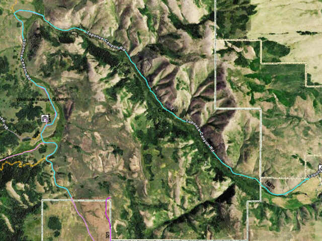
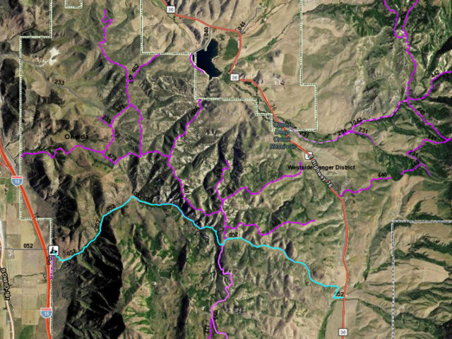
View moreThe Bannock County grooming program maintains 250 miles of snowmobile trails including the Inman/Pebble/Toponce area and the Scout Mountain-Mink Creek area. A warming shelter and parking is available in each area.
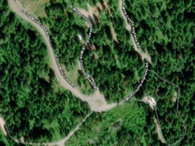
View morePocatello area trail head for snowmobiling, ATV riding and mountain biking. View our ArcGis interactive map. Download our Pocatello – Mink Creek Snowmobile and Nordic Skiing Map or order our Printed Snowmobile Maps.
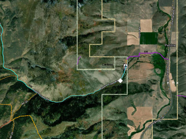
View morePebble Creek Trailhead for snowmobiling, ATV riding and mountain biking near Lava Hot Springs Idaho. View our ArcGIS Map of the Pebble Creek Trail
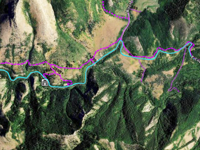
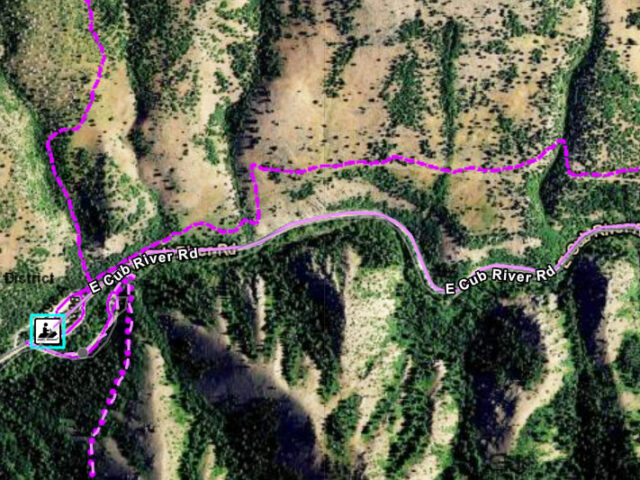
View moreCub River snowmobile trails sport over 350 miles of groomed trails to get you into the greatest high country snow this side of winter. Thousands of acres of great snowmobiling include Cub River Canyon, Paris Meadows, Midnight Mountain, Green Basin. View our ArcGIS interactive trail map.
View moreMontpelier Ranger District provides Montpelier trail maps and assistance. There are many trails to choose from whether you are interested in hiking, horseback riding, trail bike riding or snowmobiling. See our ArcGIS interactive printable map.
View moreTrailhead for snowmobiling, ATV riding and mountain biking.
View moreGrace Idaho Trailhead for snowmobiling, ATV riding and mountain biking. See an interactive printable map.
View moreTrailhead for snowmobiling, ATV riding and mountain biking near Bear Lake and Montpelier Idaho. View our ArcGIS interactive map. Request free printed snowmobile maps by mail or print your own.
View moreGreen Canyon Trail Head for snowmobiling, ATV riding and mountain biking.
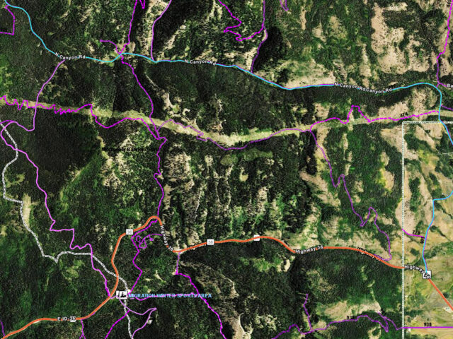
View moreNorth Canyon trail head for snowmobiling, ATV riding and mountain biking. See an interactive printable map. Type 'North Canyon' into the search box.
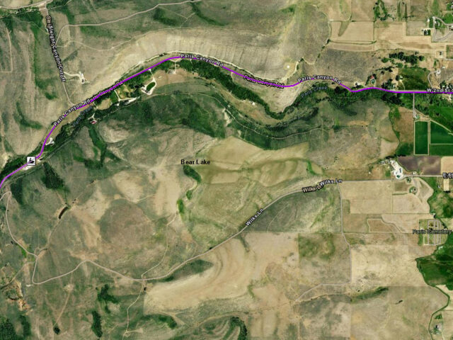
View moreParis Canyon trail head for snowmobiling, ATV riding and mountain biking. View our ArcGIS interactive printable map. Type 'Paris Canyon' into the search box.
View moreTrail head for snowmobiling, ATV riding and mountain biking. See an interactive printable map on the Idaho Trail Website.
View moreTrailhead for snowmobiling, ATV riding and mountain biking.
View moreTrailhead for snowmobiling, Cross Country skiing, ATV riding and mountain biking.
View moreSnowmobile trails near Lava Hot Springs often feature spectacular views of Mt. Bonneville and the Portneuf River area near the town.
View moreScout Mountain near Pocatello provides nature trails and campsites for snowmobiling, ATVs, hiking, biking and horseback riding. View our ArcGis interactive map.
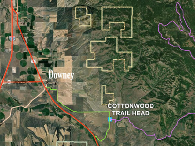
View moreDowney area trailhead for snowmobiling and ATV riding. Download a printable PDF of the Downey Area Snowmobile and ATV Trail Map. View our ArcGis Interactive Map.
View moreTrailhead for snowmobiling, ATV riding and mountain biking.
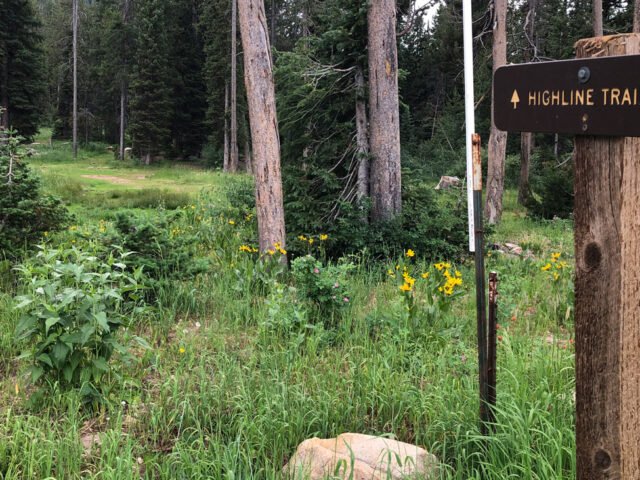
View moreHighline is a 55-mile trail mostly at 9000 feet elevation between Preston and Soda Springs. It is suitable for both hikers and bikers as well as Cross Country skiing or snowshoeing in the winter. Contact the Montpelier Ranger District for maps and information. See Southeast Idaho's interactive map.
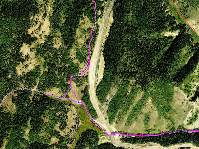
View moreDiamond Creek Trailhead for snowmobiling, ATV riding and mountain biking near Bear Lake Idaho.
View more