
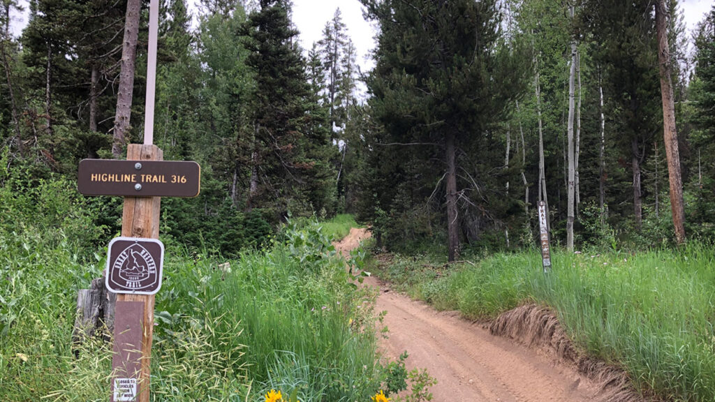
More than 1000 miles of recreation trails for motorized ATVs and mountain bikes are within the public lands of Southeast Idaho. Non motorized trail for hiking, backpacking and riding horses area available in several areas. The most impressive is the 55-mile Highline Trail traveling the mountain tops from Soda Springs to the state border on the south.
ArcGIS interactive ATV, Hike & Bike Trail Maps! You can zoom into the area you are interested in, click the trail and print the map or use your smart phone with geolocation! Click on a trail and a window shows trail details. You can export your map to Google Earth, a GPS device or the Avenza Maps App for use in areas with no mobile coverage.
Visit our specific trail pages for maps and details: ATV Trails, Hiking Trails, Mountain Bike Trails
Visit these websites for more trail maps!
- Pocatello City Creek Trail Maps
- Soda Springs ATV Trail Map
- Montpelier/Bear Lake ATV Trail Map
- West Side North ATV Trail Maps (Pocatello, Lava, Inkom)
- West Side South ATV Trail Maps (Malad, Downey, Clifton, Oxford)
- US Forest Service Online Trail Maps for ATVs in Southeast Idaho.
You can also pick up those printed trail maps at all area Forest Service offices Monday through Friday.
Soda Springs Ranger District (208) 547-4356
- Caribou Basin Guard Station
- Johnson Guard Station
- Stump Creek Guard Station
Montpelier Ranger District (208) 847-0375
- Eight Mile Guard Station
- Cub River Guard Station
- Egan Basin Guard Station
- Clear Creek Guard Station
Westside Ranger District (208) 236-7500
- Pebble Creek Guard Station
- Summit Guard Station
