
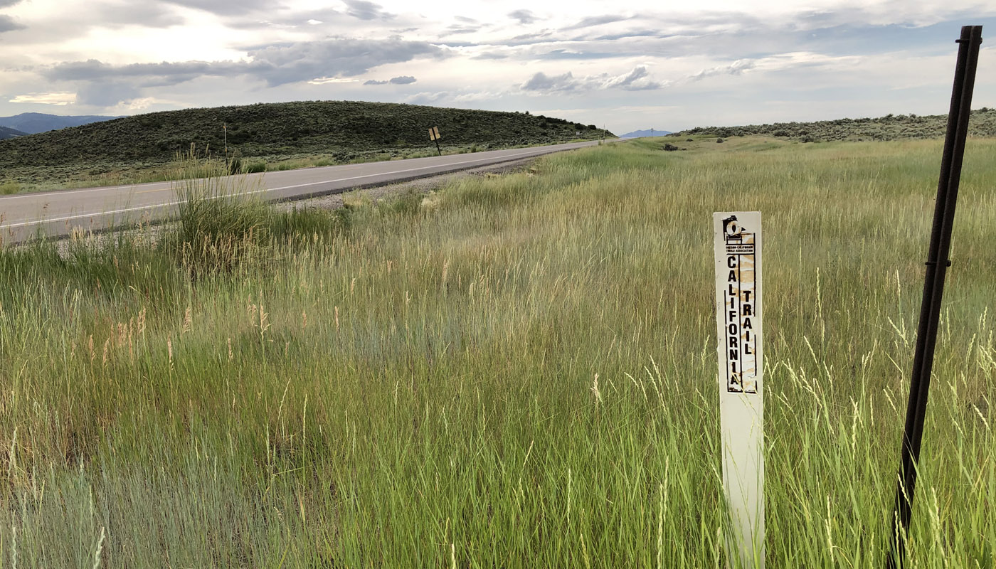
Over 300,000 emigrants used the Oregon-California Trail between 1840 and 1869. Three ruts are visible at the bottom of the hill, indicating that the wagons and oxen spread out to reduce the dust. The route crossed over this summit heading northwesterly for Soda Springs, and then went on to the Snake River at Hudson Bay Company’s Fort Hall. On U.S. 30, 3 miles north of Georgetown. Look for Byway interpretive signage at the top of the hill.
Address
Georgetown, Idaho
GPS
42.531401437351, -111.40859718309
