
 Looking at a geographic map of the United States people wonder how Idaho’s eastern and western boundaries were decided in such irregular pattern. The northern and southern borders of the state are nice and straight lines by contrast. The simple explanation is the western border used to be the coastline of the Pacific Ocean until California, Washington and Oregon rose up from the ocean floor pushing Idaho upward to become the western side of the Rocky Mountains. The highest point of the Rockies became the Continental Divide which is defined by where the snowmelt runoff from these mountains goes. This also explains the border of Idaho and Montana. Montana’s water runs southeast to the Missouri and Mississippi rivers to the Atlantic Ocean. Idaho’s water runs northwest to the Columbia River and the Pacific Ocean.
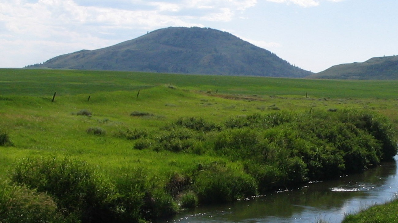
China Hat and China Cap are rhyolite domes that formed around older volcano lava flows. There are many faults located in the area which have had a part in forming these land forms as well as multiple "grabens". This is also a great Bird Watching area. The best bird viewing…
View more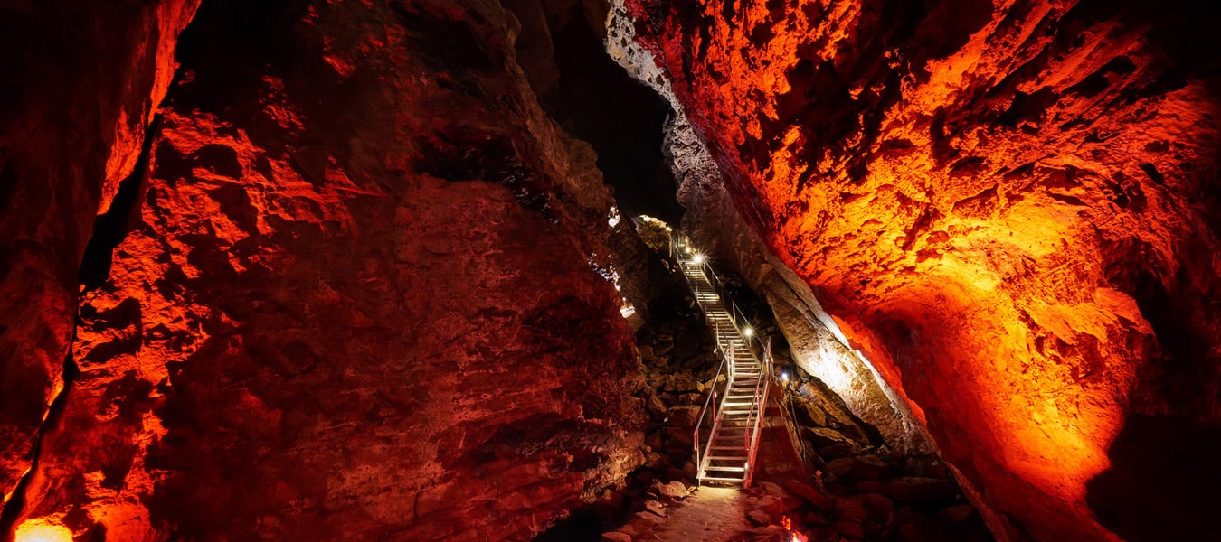
Tour through a wondrous half-mile of stalactites and stalagmites in the largest limestone cave in Idaho. The US Forest Service offers a tour through a wondrous half-mile of stalactites and stalagmites from Memorial Day (weather permitting) through Labor Day. This is the largest developed limestone cave in Idaho. The site…
View more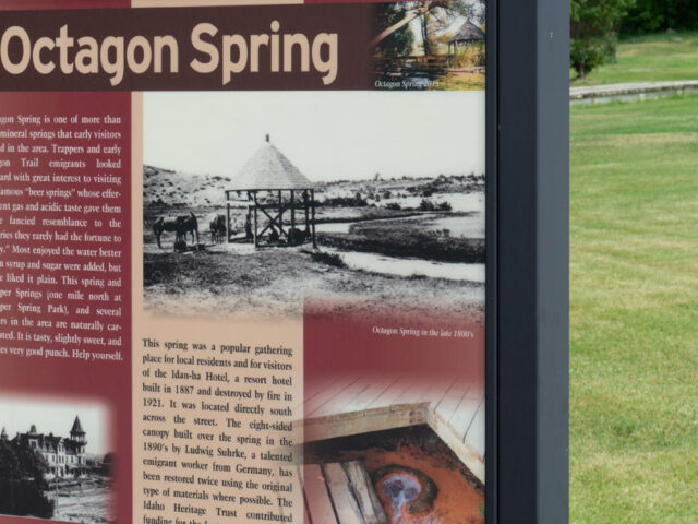
Octagon Spring was a popular gathering place for local residents and for visitors to the famous Idanha Hotel,built in 1887,which was just across the street to the south of the spring.
View more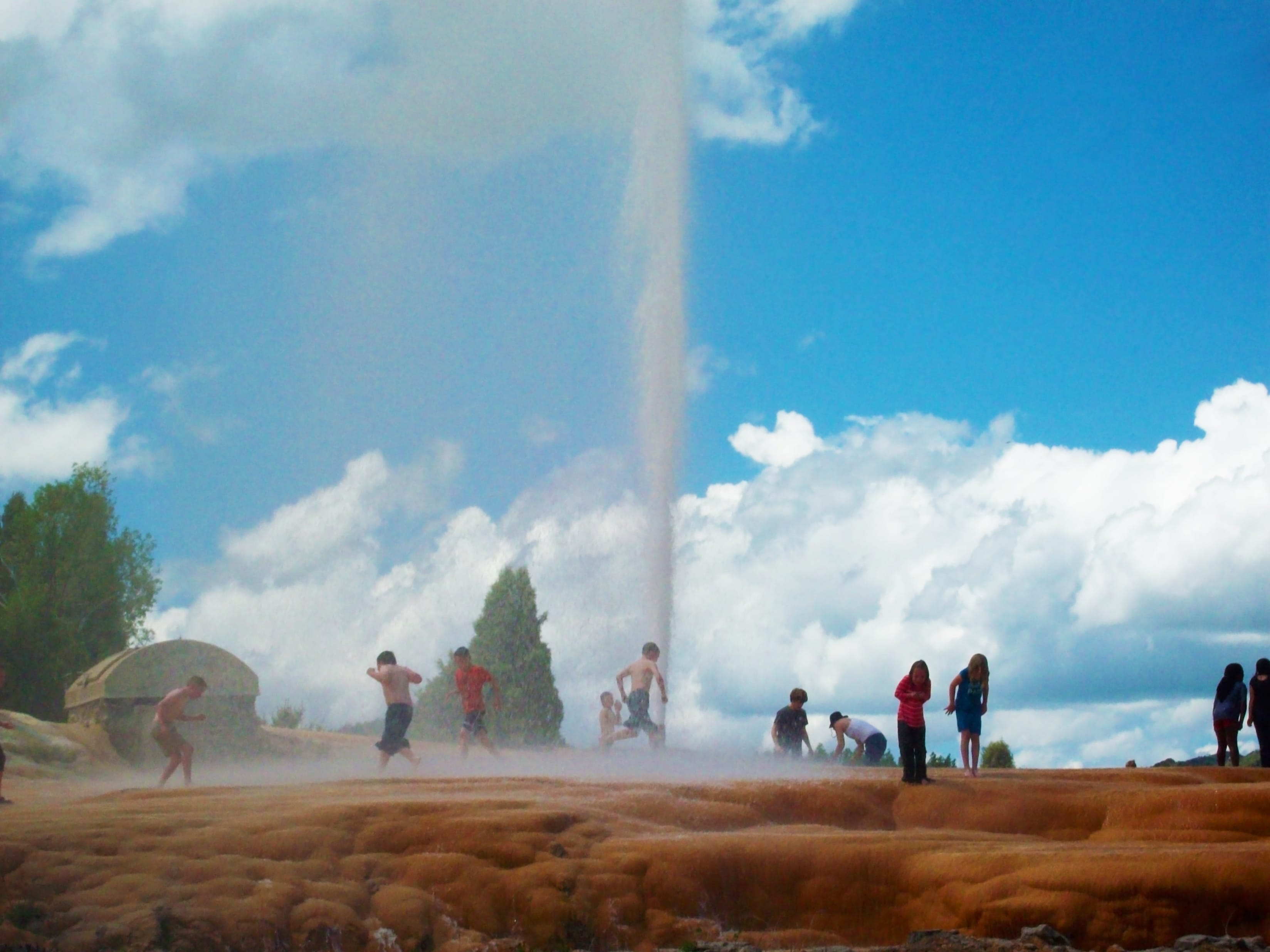
Soda Springs boasts having the world's only captive geyser. On November 30, 1937 in an attempt to find a hot water source for a local swimming pool, a well driller set free the natural geyser at a depth of 317 feet. It is located on Pyramid Spring, a travertine mound described by Fremont in his 1840s expeditions, along with other area springs.
View more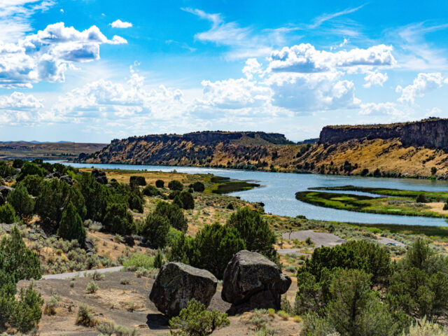
Massacre Rocks State Park is one of the Historical Areas operated by the State of Idaho to remind visitors of the march of history through the state. Ten miles west of American Falls on I-86, take exit 28 and follow the signs. The park has stories to tell which date…
View more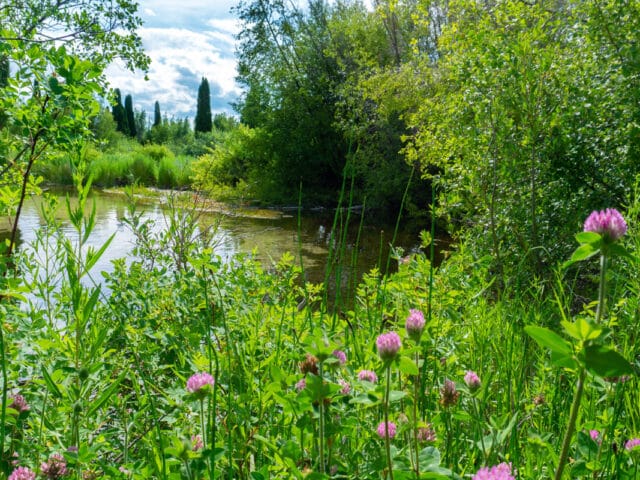
In 1989, 160-acres surrounding Formation Springs was turned into a preserve established by the Nature Conservancy to protect the crystal clear pools and unique wetland complex. The water feeding these terraced pools is very high in travertine (calcium carbonate), which has created a unique geology for the area, the most impressive…
View more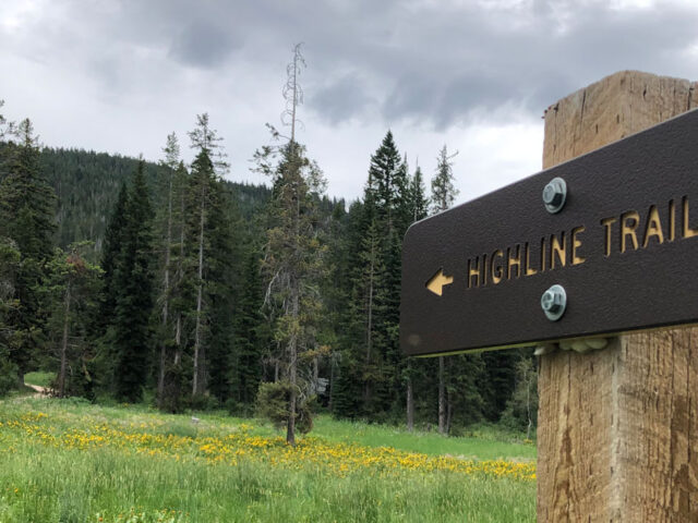
The Caribou National Forest was created in 1907 by President Theodore Roosevelt. Recently the administration was merged with the Targhee National Forest. Combined, the two forests now cover more than 2.8 million acres and thousands of miles of trails in southeastern and eastern Idaho, with small portions in Utah and…
View more
This forested area offers public-lands-campground, recreation and wildlife viewing in the great outdoors of the Caribou-Targhee National Forest.
View more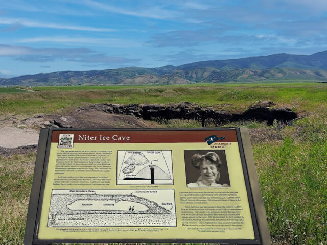
The Cave was formed when basalt lava flowed out of a vent 500 thousand years ago forming a lava tube typical to this type of volcanic activity on the Snake River Plains. It was important to early settlers and native Americans for food storage. John A. Dalton, the original homesteader,…
View more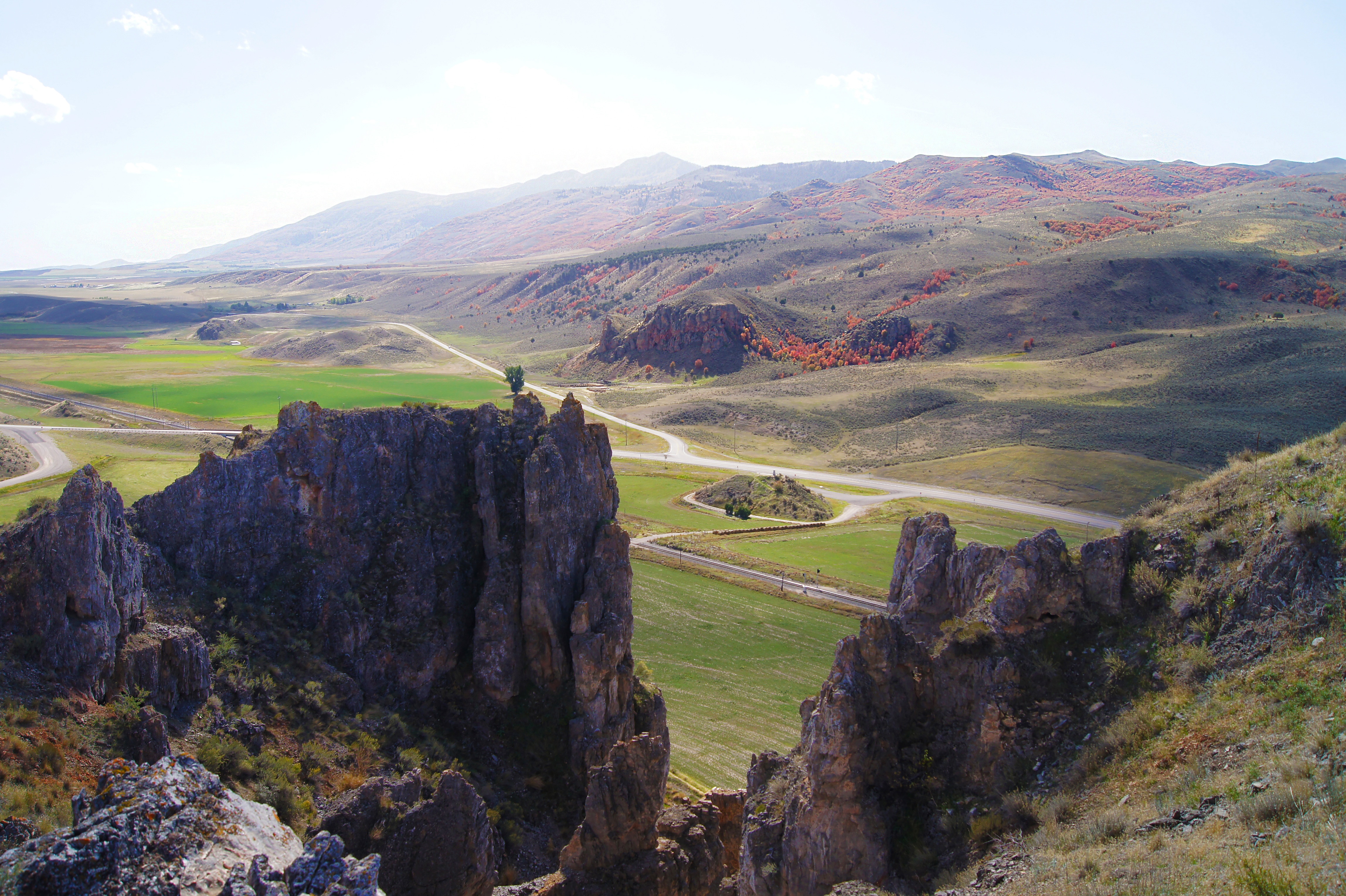
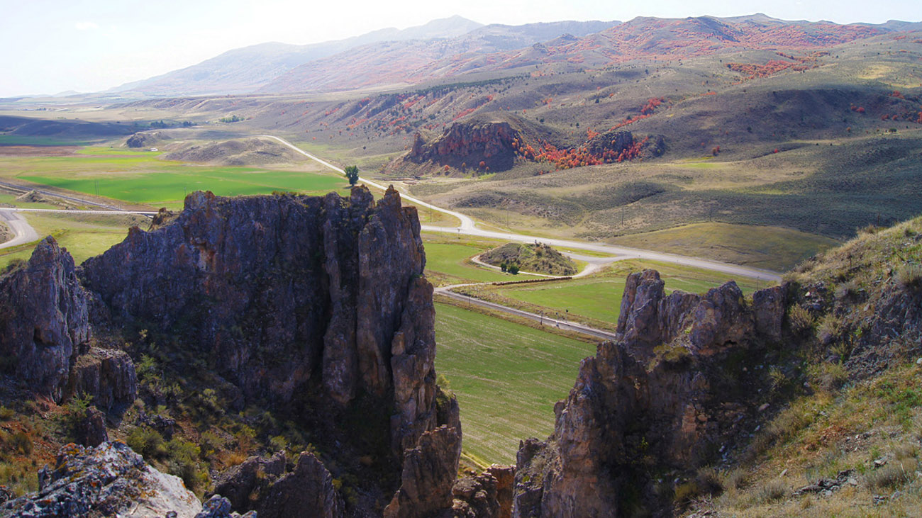
Red Rock Pass was cut through a sill of resistant Paleozoic shale, limestone, and dolomite, and forms a narrow gap two miles long. At one time the pass was at the shoreline of Pleistocene Lake Bonneville, 300 feet higher. Lava flows in the vicinity of Pocatello diverted the Bear River through Lake Thatcher into Lake Bonneville.
View more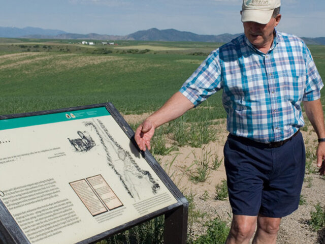
Sulphur Springs was noted in numerous early explorer and emigrant diaries. It was the first of several notable springs encountered in the Soda Springs area. When the wind is right, the distinct rotten egg odor can still be easily detected along Highway 30 east of town. The cold water and…
View more